LiDar Scan
LiDar Scan
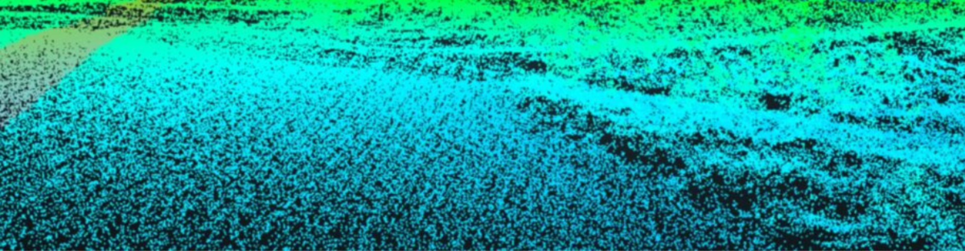
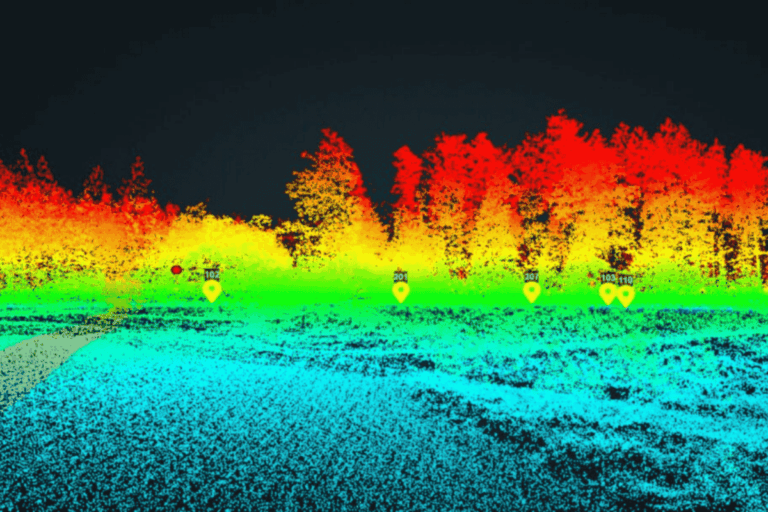
LiDAR (Light Detection and Ranging) is the gold standard for capturing high-resolution 3D data across complex surfaces and large sites. Drone Inspect NYC offers airborne LiDAR services that deliver centimeter-level accuracy—ideal for structural mapping, elevation modeling, and digital terrain generation in dense urban or irregular environments.
Unlike photogrammetry, LiDAR penetrates vegetation and varying light conditions to generate consistent, survey-grade results—empowering engineers, planners, and architects to work with confidence.
Benefits of Drone-Based LiDar
- Survey-Grade Accuracy
Capture dense point clouds with millions of georeferenced points, delivering accuracy down to 2–5 cm. - Penetrates Tree Canopies & Obstructions
Unlike cameras, LiDAR can “see” through foliage and shaded areas, ensuring ground-level mapping even in obstructed zones. - Topographic & Structural Versatility
Use for roofline modeling, façade elevation, slope analysis, and land grading. - Compatible with Engineering Workflows
Easily export into AutoCAD, Civil 3D, ArcGIS, or BIM platforms.
What's Included
- RTK-enabled drone flights with precision LiDAR payload
- Densified point clouds with georeferenced spatial data
- Digital Elevation Models (DEM), Contours, and Surface Models
- Ground classification & noise filtering
- Data exports in .LAS, .LAZ, .DXF, .SHP, and more
Ideal for
- Civil Engineers & Surveyors
- Environmental Consultants
- Site Planners & Developers
- Bridge, Tunnel & Infrastructure Teams
- Government & Municipal Planning Agencies
LiDAR Scans Built for Urban Infrastructure
Get centimeter-accurate models for design, planning, and compliance.
Request LiDAR Services